


-
Thermal Imaging from Drones: A Revolution in Monitoring with Thermal Cameras by Workswell">Thermal Imaging from Drones: A Revolution in Monitoring with Thermal Cameras by Workswell
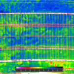
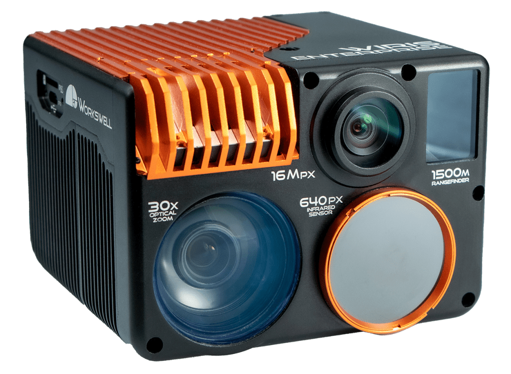
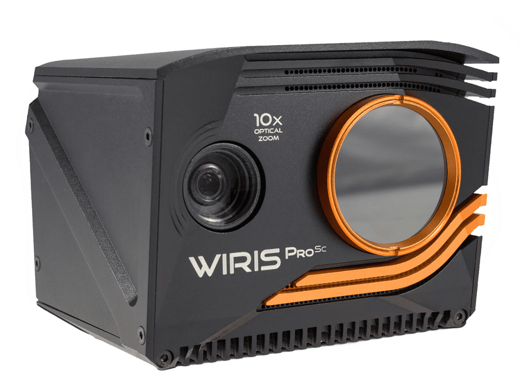
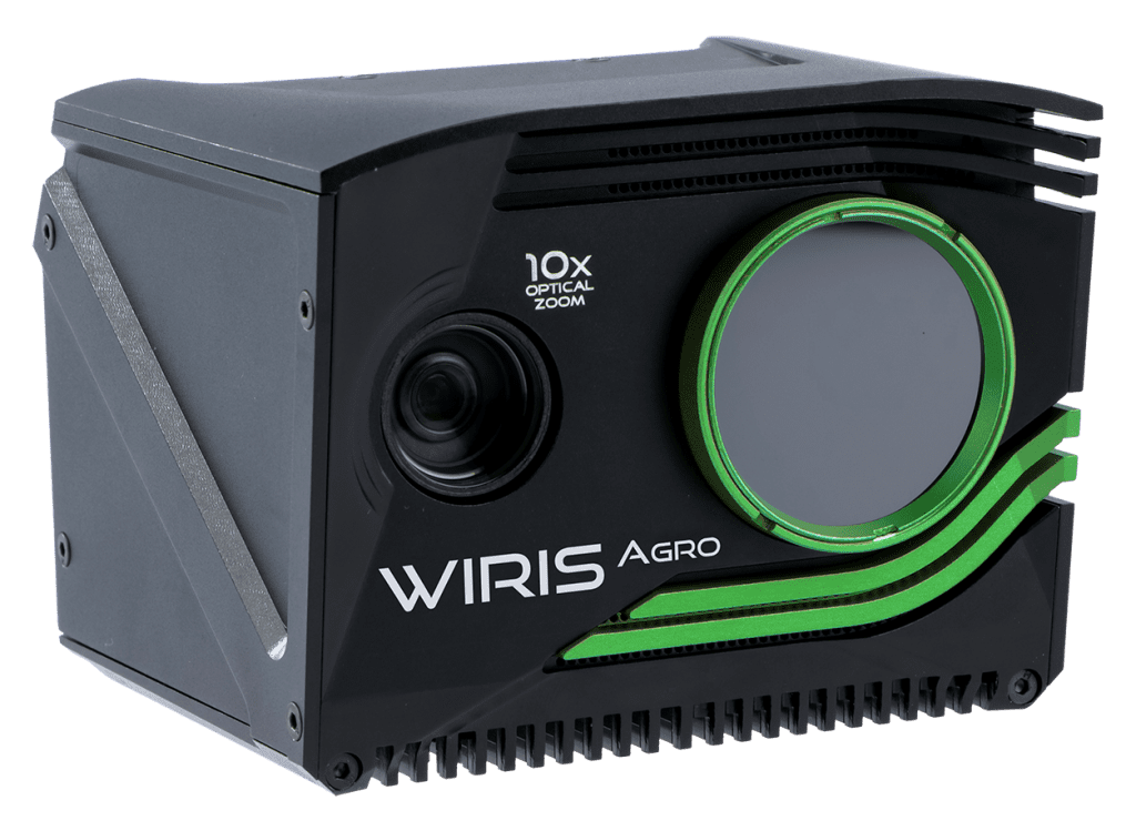
A thermal camera is an invention that is beneficial for a wide range of industrial, research, and security applications. Workswell, a prominent European manufacturer of thermal cameras based in the Czech Republic, is at the forefront of this technological revolution. Their latest innovation uses thermal cameras on drones for aerial thermal imaging. Camera Description Workswell thermal... -

Are WIRIS thermal cameras compatible with DJI drones?
Blog DJI with a thermal camera Drones have become increasingly popular in recent years, providing a unique perspective for capturing stunning aerial footage. DJI is a well-known brand in the drone industry, offering high-quality drones for both hobbyists and professionals. However, to take their capabilities to the next level, many drone enthusiasts are looking to pair... -
Encyclopedia of thermal cameras: everything you want to ask
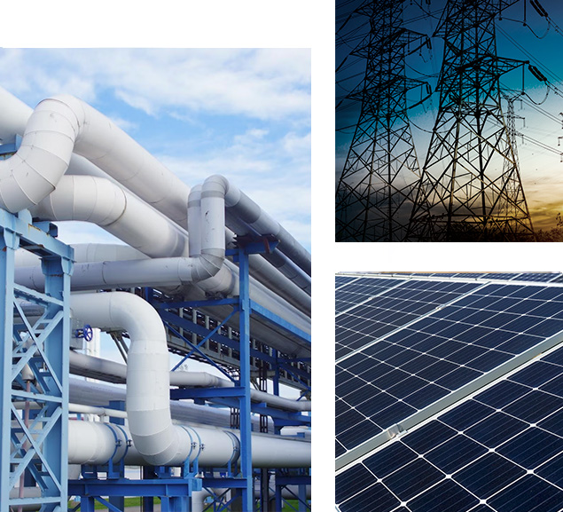
STRONG PARTNERSHIP Encyclopedia of thermal cameras Thermal cameras have become an increasingly popular tool in a wide range of industries, from building inspections to surveillance and security. These cameras can detect and display thermal energy emitted by objects, providing valuable insights into temperature variations and potential issues. However, with the growing interest in thermal cameras, there...